
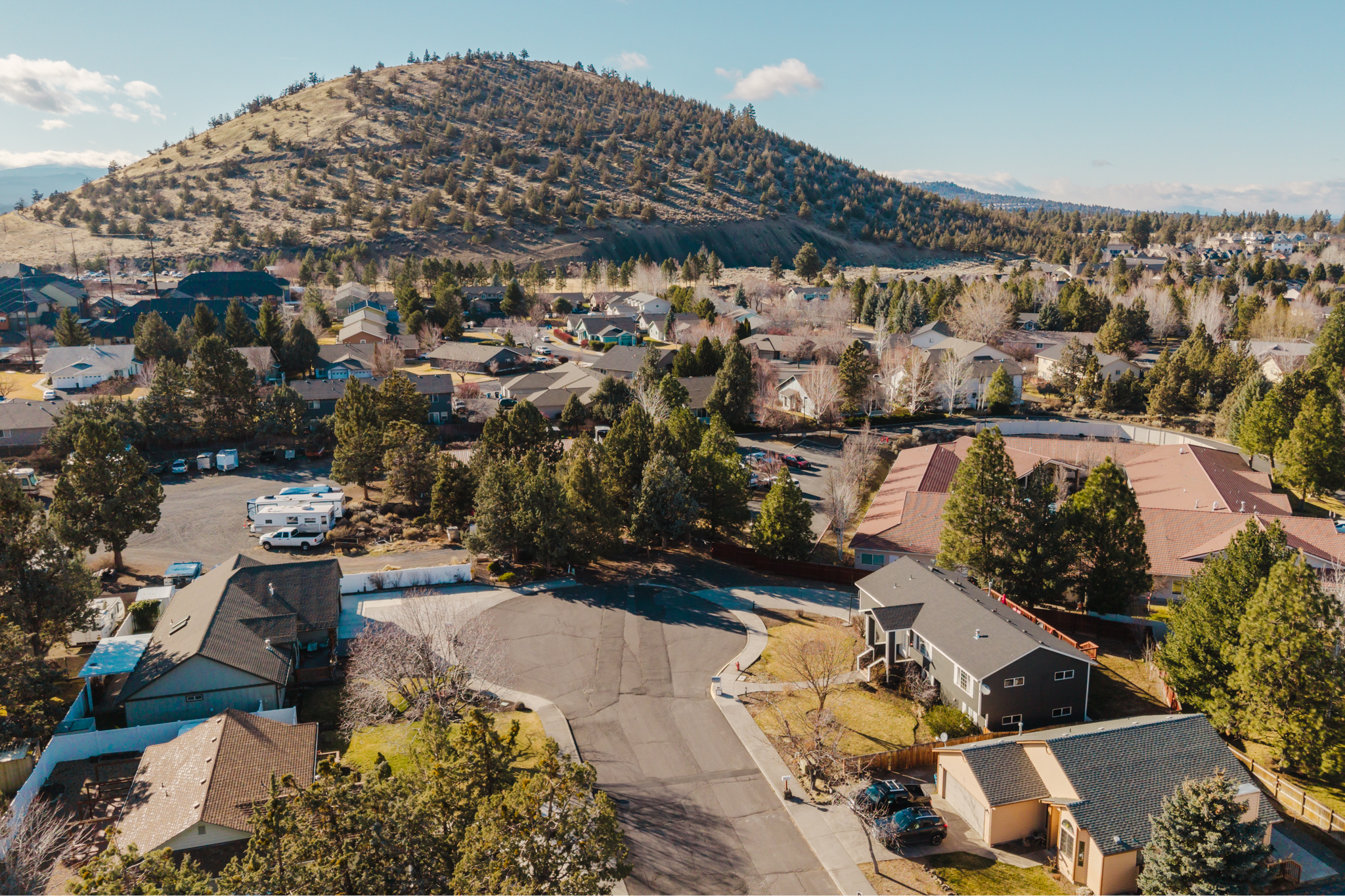
Living near the Deschutes River can put trails, parks and water access into your normal routine—but “near the river” is not one property type. A home may be directly riverfront, across a public trail, near a busy access point, connected by an HOA path or simply within a short drive. The useful comparison is not just scenery. It is how the specific property handles access, privacy, flood exposure, insurance, maintenance and future projects.
Define what “near the river” actually means
Start by identifying the property’s physical and legal relationship to the river. A listing description may use phrases such as river access, river view or river-adjacent, but those terms do not answer the same questions.
- Direct river frontage: Where is the surveyed boundary, and what lies between the house and the water?
- Public trail frontage: Is a Bend Park and Recreation District trail or access point beside or behind the lot?
- Private or HOA access: What recorded easement, membership or rule controls the route?
- Nearby public access: How far is the actual entrance, and what parking or seasonal activity comes with it?
- River view: Is the view protected, seasonal or dependent on vegetation on another property?
Ask for the survey, plat, title documents, easements, HOA records and any permits tied to riverbank work. Walk the site rather than relying on a map pin or listing language.
River access changes block by block
The Deschutes River Trail includes more than 12 miles of trail through Bend, but its character varies. Some reaches pass through developed park areas and neighborhood streets; others run through quieter forest, canyon or rimrock settings. Surface, grade, permitted uses, parking and connections also change along the corridor.
Official park and trail pages are the right place to check current access, closures and rules. For example, the Old Mill Reach connects multiple parks and trails on both sides of the river, while First Street Rapids Park serves as a recognized river access point and trail connection. That public amenity can be a daily benefit, but a home beside an active route may experience more foot traffic, bikes, dogs, parking or summer activity than a property farther from an access point.
Visit at the time of day and season that matter to you. Notice lighting, trail visibility, parking, noise, river use and how people move past the property.
Separate recreation convenience from river safety
Proximity can make walking, paddling or floating easier, but the river is a changing natural system. Conditions, water temperature, flow, hazards and access rules vary by reach and season. Use designated access points and current agency guidance rather than treating every bank as a safe entry or exit.
Bend Park and Recreation District maintains a current guide to floating the river, including access information and safety considerations. A buyer who expects to launch a paddleboard, store watercraft or reach the trail directly from home should verify the actual route and any HOA, park or property restrictions before making that feature part of the purchase decision.
Check flood information for the exact parcel and structure
A river view does not by itself establish flood risk, and being outside a mapped high-risk zone does not mean flooding is impossible. Start with the official FEMA flood map and the local parcel information, then ask how the building, garage, access route and improvements relate to the mapped area.
The FEMA Flood Map Service Center is the official source for Flood Insurance Rate Maps and related products. Deschutes County also publishes a local floodplain data layer. If the property has a Letter of Map Amendment, elevation certificate, prior flood determination, drainage report or flood insurance policy, request and review those records.
Talk with the lender and insurer early. Coverage requirements and pricing depend on the exact structure, financing and carrier—not merely the neighborhood name. Our Bend home-insurance guide explains how to obtain a property-specific quote before purchase deadlines expire.
Riverbank work can require several approvals
A new path, stair, dock, retaining feature, bank stabilization project or vegetation change may involve more than ordinary yard work. City or county land-use rules can apply, and work that removes or places material in wetlands, rivers or streams may require state or federal authorization.
The Oregon Department of State Lands advises property owners to check removal-fill requirements before riverbank or wetland work. Common regulated projects can include docks, boat ramps, culverts, bridges, grading and adding rock for bank stabilization. Local approval may also be needed, and existing work should be checked for permits rather than assumed legal because it is already present.
If future outdoor improvements matter to your plans, identify the jurisdiction and consult the appropriate planning and resource agencies before assigning value to the idea.
River proximity does not create a water right
A river beside the property does not automatically allow an owner to withdraw or use that water. The Oregon Water Resources Department explains that Oregon water belongs to the public and that, with limited exceptions, a permit or license is required to use surface water or groundwater.
If a listing includes irrigation or another water right, obtain the certificate, permit or transfer records and verify the place of use, authorized purpose, priority date and current ownership status. OWRD’s Water Rights Information System is a research starting point, but the underlying records and property-specific professional review matter.
Inspect the property systems, not just the setting
River-adjacent homes can have ordinary city utilities or a mix of private systems, depending on location. Confirm sewer or septic, municipal water or well, irrigation, drainage, retaining features, tree condition and access for maintenance equipment.
During inspections, pay particular attention to:
- site drainage, low areas and evidence of past water movement;
- foundation, crawlspace or basement moisture;
- bank condition, erosion and unpermitted stabilization work;
- trees near the home, trail or riverbank;
- irrigation components and documented water rights;
- private paths, stairs, docks, fences and retaining walls;
- shared access or maintenance obligations; and
- wildfire fuels and emergency access.
Our guides to tree care for Bend homes and Central Oregon acreage maintenance provide additional questions for properties with larger landscapes or private systems.
Compare the daily routine, not a generic river premium
There is no universal price adjustment for being close to the Deschutes. A quiet view lot, a home beside a popular trailhead and a house several blocks from a park offer different experiences. Condition, access, privacy, flood information, improvements, lot utility and buyer demand all interact.
Build the comparison around your routine:
- Map the trail entrance and river access you would actually use.
- Walk the route and the property boundary.
- Visit during a busy warm-weather period and a quieter time.
- Review surveys, title exceptions, HOA rules and permits.
- Check FEMA and local flood information.
- Obtain insurance and lender feedback for the exact address.
- Inspect private systems, drainage, trees and riverbank improvements.
- Price any deferred work before the inspection and financing deadlines expire.
The river can be a meaningful part of life in Bend when the access and responsibilities fit the buyer. If you are comparing riverfront, trail-adjacent or river-near homes, contact the Bend Relo team. We can help organize the parcel records, inspections, insurance questions and local comparisons needed to understand what you are buying.
Talk with David & the Bend Relo team
Buying, selling, relocating, or evaluating a specific property? Tell us what you are working through. We are happy to help.